
870
FXUS66 KSGX 211155
AFDSGX

Area Forecast Discussion
National Weather Service San Diego CA
455 AM PDT Wed Oct 21 2026

.SYNOPSIS...
A low pressure system moving southward off the California coast will
bring general cooling through Thursday. It is also expected to
produce showers and a slight chance of thunderstorms for late
today through Thursday as it moves inland through California into
Nevada. Warmer and drier for the weekend. Offshore flow on
Saturday could produce gusty northeast to east winds in and below
mountain passes and canyons as well as the Inland Empire corridor
between the Cajon Pass and the Santa Ana Mountains. The offshore
flow weakens for Sunday into early next week.

&&

.DISCUSSION...FOR EXTREME SOUTHWESTERN CALIFORNIA INCLUDING ORANGE...
SAN DIEGO...WESTERN RIVERSIDE AND SOUTHWESTERN SAN BERNARDINO
COUNTIES...

...UPDATED AVIATION DISCUSSION...

.SHORT TERM (Today through Friday)...
The center of a closed low pressure system will move slowly
eastward to a position near Point Conception by Thursday morning,
then move more rapidly northeastward into Nevada by late Thursday
evening. This will continue the cooling trend through Thursday
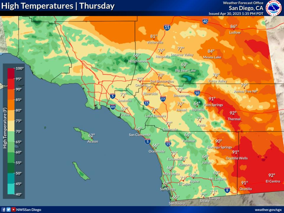
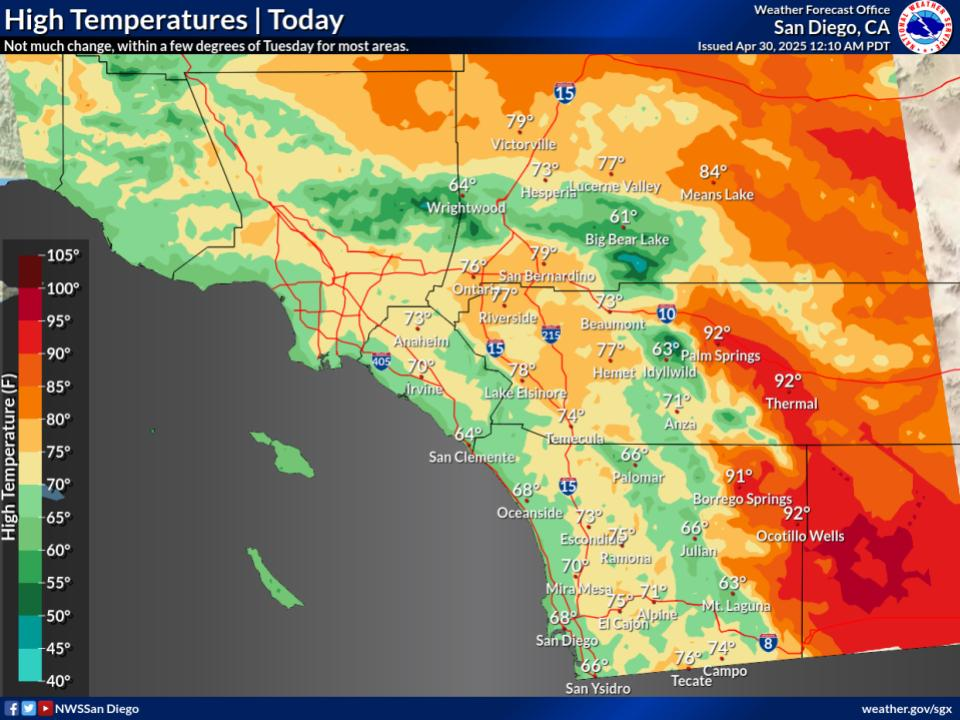
with Thursday high temperatures as much as 15 to 20 degrees below
average for the mountains. High temperatures on Thursday for the
coast and valleys will be mostly in the 60s to around 70 with the
mountains in the 40s and 50s.

An initial band of showers and isolated thunderstorms will move
into coastal areas inland to the mountains during the afternoon
and early evening with a second round during the late evening and
overnight. Instability will increase overnight as colder air aloft
moves across record warm coastal waters for this time in October,
around 7 degrees warmer than the long-term average. While
coverage of precipitation may be less overnight, there is greater
potential for brief higher-intensity rainfall from isolated
thunderstorms and stronger showers.

Additional showers will continue on Thursday along with a slight
chance of thunderstorms during the afternoon. The greater
coverage is expected for Orange and southwestern San Bernardino
Counties from the coast to the mountains. Showers will continue
into Thursday evening, then decrease and end from the northwest
late Thursday night and early Friday.

Through Thursday night for Orange and southwestern San Bernardino
Counties, rainfall is expected to range from around 0.75 inch near
the coast to 1 to 1.5 inches for the San Bernardino County
mountains. For San Diego County, rainfall will decrease from
north to south with 0.75 to locally 1 inch over northwestern San
Diego County to 0.25 to 0.50 inch across far southern San Diego
County.

NBM probabilities for 0.10 inch or more of rainfall through
Thursday night exceed 90 percent for the coast, valleys, and
mountains. Probabilities for 0.50 inch or more exceed 80 percent
from the coast to the mountains. Probabilities for 1 inch or more
exceed 50 percent from the coast to the mountains for Orange and
southwestern San Bernardino Counties into northwestern San Diego
County. Probabilities for 2 inches or more exceed 10 percent from
inland Orange County to the mountains of southwestern San
Bernardino County and are as high as 20 to 30 percent on the
coastal slopes of the San Bernardino County mountains.

Warming and drying will begin on Friday with high temperatures a
few to around 5 degrees warmer than Thursday.

&&

.LONG TERM (Saturday through Tuesday)...
Greater warming will occur on Saturday followed by slower warming
for Sunday and Monday. For next Monday, high temperatures for
coastal areas will be 5 to locally 10 degrees above average with
the mountains and deserts a few to around 5 degrees below average.
High temperatures on Monday will be mostly in the 70s and lower
80s for the coast and valleys, in the 50s and 60s for the
mountains, and into the lower to mid 80s for the lower deserts.

&&

.AVIATION...
211130Z...SCT-BKN cloud layers around 2000 and 8000 feet MSL will
continue into the afternoon. A band of RA/SHRA will move west to
east through the region 21-06Z. Cigs will drop to 2500-3500 feet
MSL and vis 3-6SM during this band`s passage. A few embedded
+SHRA/TSRA could produce brief and local IFR conditions. Winds
shift from south to southwest and cigs lift to about 3000 feet MSL
as the precip band passes after 11Z Thursday followed by SHRA.

&&

.MARINE...
A storm system will move through the coastal waters this afternoon
through early Thursday. Southerly winds today will shift to
southwest tonight, then westerly Thursday, with occasional wind
gusts exceeding 20 knots. There is a 15-25% chance of TSRA after 22Z
into Thursday. No hazardous marine conditions are expected Thursday
night through Sunday.

&&

.SKYWARN...
Skywarn activation is not requested. However weather spotters are
encouraged to report significant weather conditions.

&&

.SGX WATCHES/WARNINGS/ADVISORIES...
CA...None.
PZ...None.

&&

$$

PUBLIC...17
AVIATION/MARINE...MM
NWS San Diego (SGX) Office


 6800ft.




 © bensweather